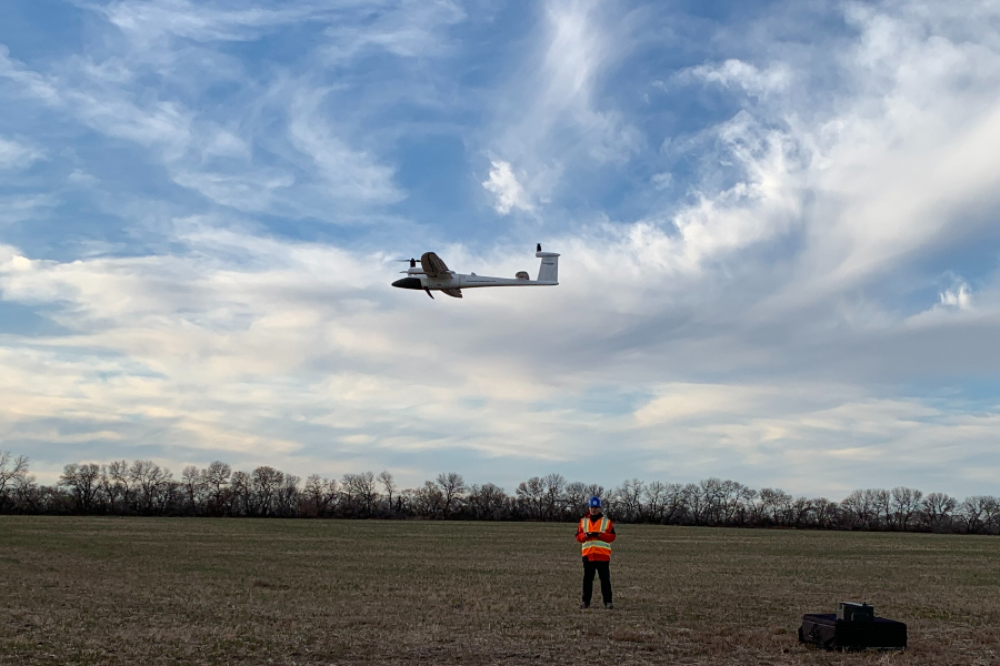
As a reliable aerial survey & inspection provider, Western Heritage UAV provides LiDAR Mobile Mapping products and comprehensive UAV services including state-of-the-art mosaic mapping, point cloud, hyperspectral & thermal inspection to our valued clients in Petroleum, Agriculture, Survey and Archaeology. Our products and services are listed below.
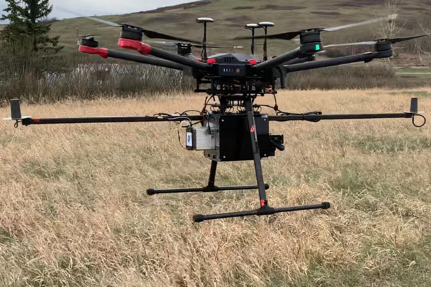
LiDAR

Petroleum
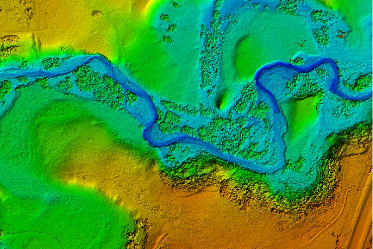
Survey
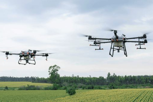
Agriculture
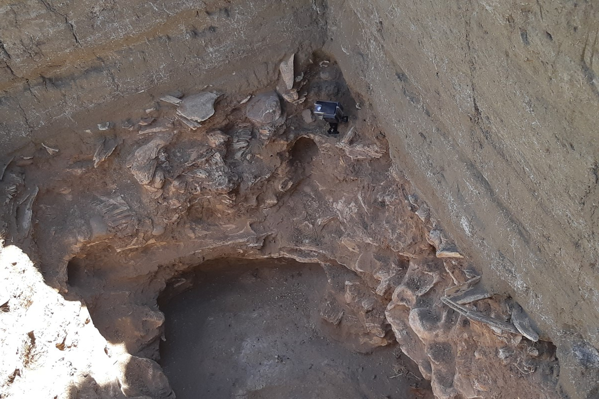
Archaeology
Certificate
If you need more information, please contact us: geomatics@westernheritage.ca or 1-877-669-0784