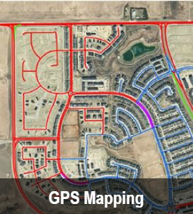
WH Geomatics has provided GIS & Remote Sensing solutions across Canada and around the world since 1995. Our services include Geographic Information Systems (GIS), UAV/Drone, Remote Sensing(RS), geospatial analysis, GPS-based data collection and mapping, as well as development and maintenance of custom geospatial databases. Our products and services are listed below.
If you need more information, please contact us: geomatics@westernheritage.ca or +1(877)669-0784