As a reliable aerial survey & inspection provider, Western Heritage UAV provides LiDAR Mobile Mapping products and comprehensive UAV services including state-of-the-art mosaic mapping, point cloud, hyperspectral & thermal inspection to our valued clients in Petroleum, Survey and Mapping.
We are Transport Canada licensed with Beyond Visual Line of Sight (BVLOS), Advanced Operation, Radio Operation and Flight Reviewer Certificates, have the $5 million Insurance, ISO 9001, COR Safety Certificate to provide long range operation in Canada, within urban areas or in close proximity aerodromes.
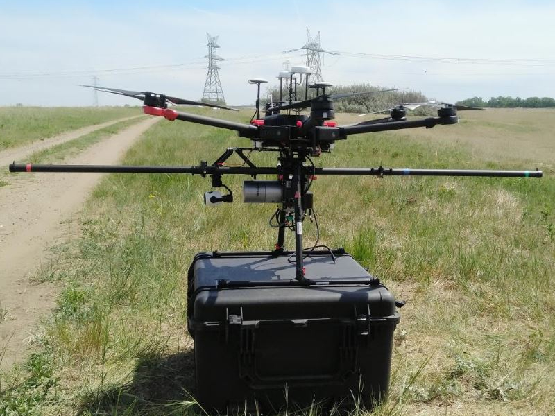
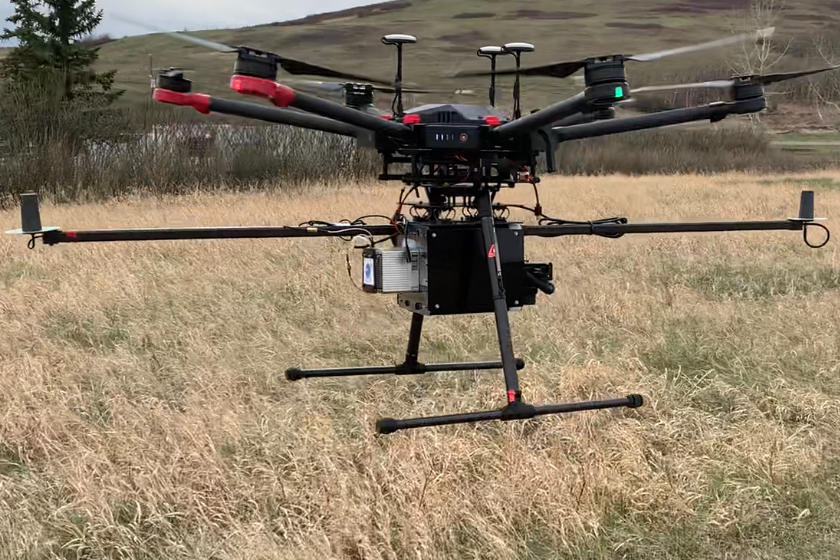
The drones we operated:
- Fixed-wing: Trinity F90+ with 90 minutes flight time
- Rotary-wing: DJI M6000 Pro with 22 minutes flight time and 5kg payload
- Rotary-wing: Feima E2000 with 60 minutes flight time
- A dozens of small rotary-wing drones
The sensors we operated:
- Sony cameras with 20M and 40M resolution
- Zenmuse XT2 Thermal and Optical camera
- Livox MID 40 and MID 100 LiDAR Sensors
- Oblique Camera
- Puzhou 30X Zoom Camera
LiDAR
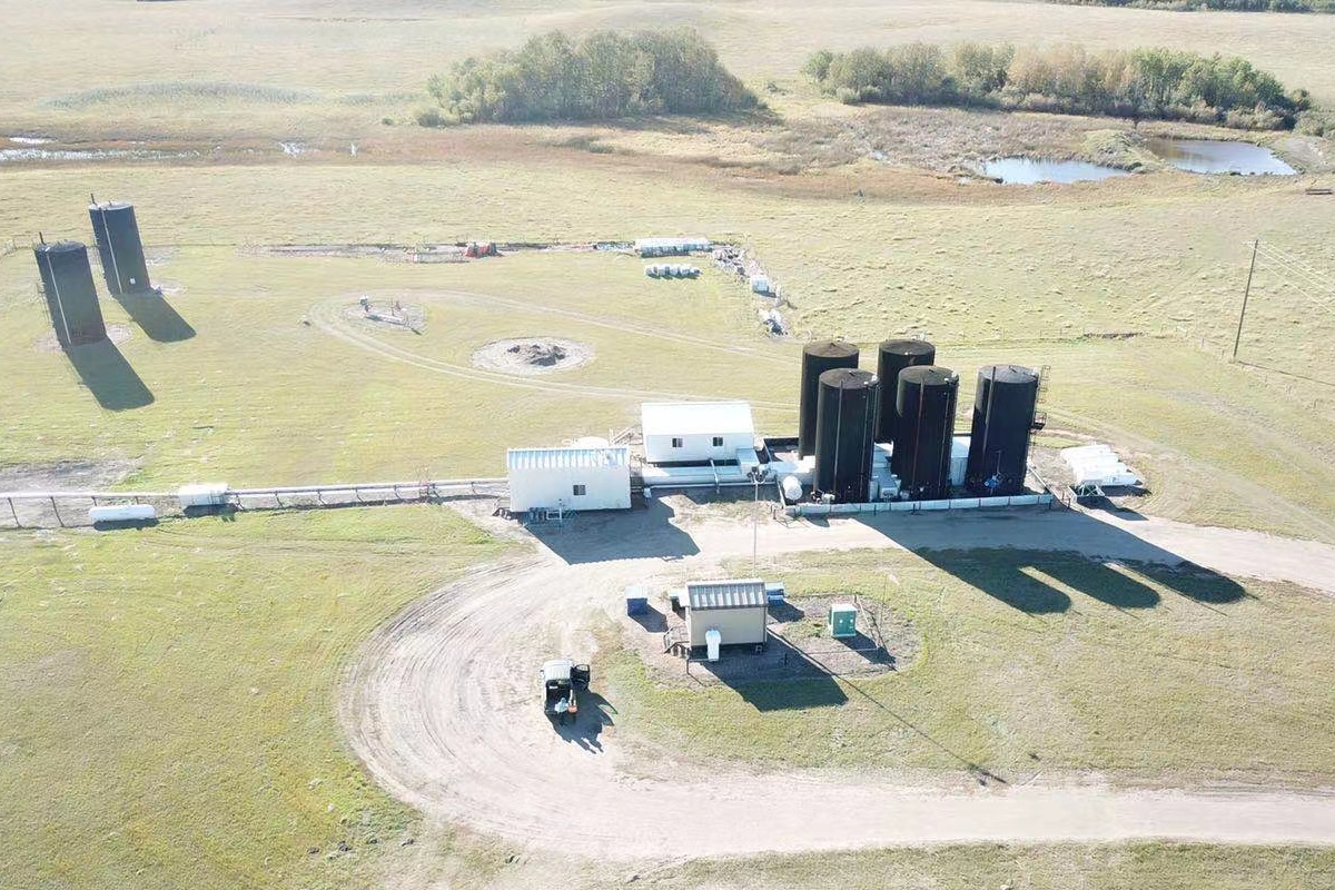
Petroleum
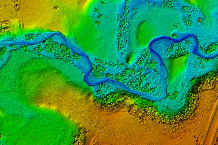
Survey and Mapping
If you need brochure, quote, please contact us: geomatics@westernheritage.ca or 1-877-669-0784