LiDAR (Light Detection and Ranging) is a remote sensing method used to measure objects in 3 dimensions with a high level of precision and accuracy. A major advantage of LiDAR technology is its ability to penetrate vegetation canopies to gather surface elevation data and map objects under that canopy such as concealed buildings and roads. The use cases for lidar keep expanding.
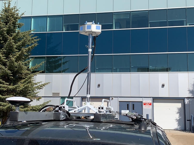
Vehicle LiDAR Mobile Mapping System developed by WH Team
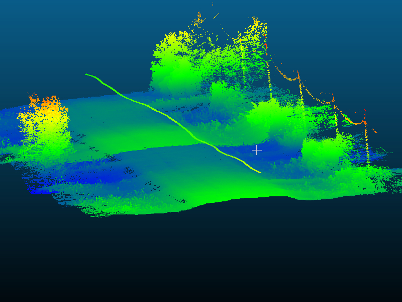
Gravel road point cloud collected by WH Vehicle LiDAR Mobile Mapping System
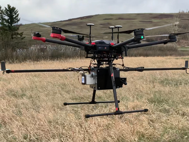
UAV LiDAR Mobile Mapping System developed by WH Team
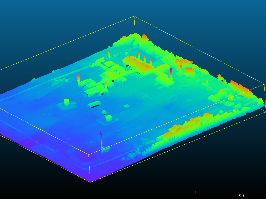
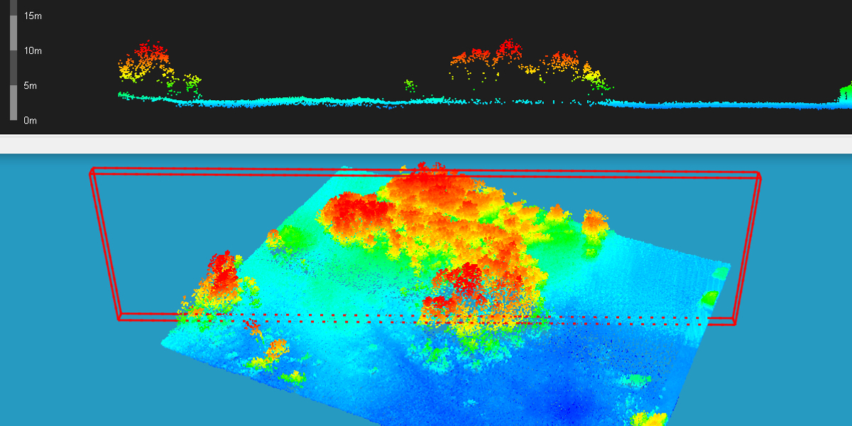
Oil gas plant LiDAR point cloud
Western Heritage developed the Vehicle LiDAR Mobile Mapping System and UAV LiDAR Mobile Mapping system. Our Lidar mapping system collects and generates point clouds with 8 cm vertical accuracy and 5 cm horizontal accuracy. Point clouds are used to build accurate digital terrain and elevation modes, and 3D Models of any objects on the ground.
If you need brochure, quote, please contact us: geomatics@westernheritage.ca or 1-877-669-0784