WH Geomatics has provided GIS & Remote Sensing solutions across Canada and around the world since 1995. Our services include Geographic Information Systems (GIS), remote sensing, geospatial analysis, GPS-based data collection and mapping, as well as development and maintenance of custom geospatial databases. Our products and services are listed below.
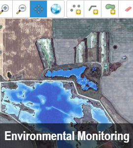

Environmental Footprint Monitoring Platform
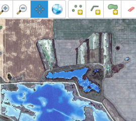
The WH Geomatics EFMP provides managers in industry and government with a tool to assist in the monitoring and reporting on the state of the environment within their development footprint. The tool can be applied at any point in the project life cycle and will reduce costs and improved transparency. The service utilizes satellite imagery and remote sensing techniques to generate valuable information on the health and productivity of the environment of their project area. In addition to the natural environment, the platform monitors changing land use and landscape disturbance.
For more information, please visit www.footprintmonitoring.com
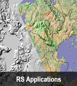
Remote Sensing Applications
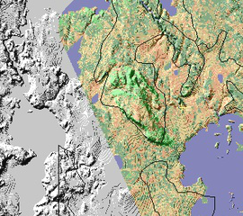
Remote sensing is the science of extracting information from satellite-, aerial- or UAV-mounted sensors. Remote sensing can yield information about the Earth’s surface, atmosphere and properties. Remote sensing is ideally suited to systematically assessing and monitoring both large and small customer defined study areas.
Learn more…
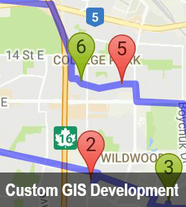
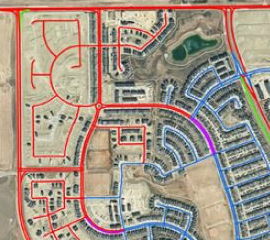
Custom GIS Development
WH Geomatics provides development of desktop GIS applications and web based GIS applications using industry standard tools such as ArcEngine, Visual Studio, SQL Server, and Oracle. WH Geomatics has developed desktop GIS application tailored for clients in the health and environmental sectors.
WH Geomatics has rich experience building targeted, powerful, web mapping applications and maximizing the possibilities of ESRI ArcGIS Enterprise or open source software (Map Server or GeoServer, Open Layer) specific to the requirements of the project.
An example of our custom gis work, please see our geospatial health software [opushs.ca]
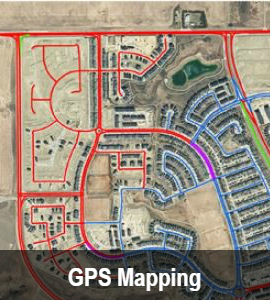
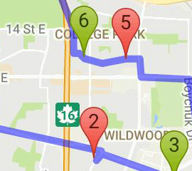
GPS-based Mapping & Geodatabase management
WH Geomatics has the technical expertise and on-the-ground experience to handle the design, deployment, management and maintenance of your geospatial data. Based on project experience, WH Geomatics uses a variety of tools ranging from high precision GPS Units (including vehicle mounted for Road Network verification and update) to cloud-based geospatial tools such as Collector and Survey123 for ArcGIS.
Learn more…

Imagery and Software Sales
WH Geomatics provides satellite imagery for every region of the world, with spatial resolutions from 1 km to 30 cm. We are a certified reseller for Digital Globe. Our advantage is our detailed technical knowledge of each satellite and its applications, access to the technical expertise of the satellite owners, and the ability to quote and receive payments in local currencies. Our most significant benefit is our quality control. WH Geomatics only provides imagery that meets our customer’s quality specifications.
Learn more…
If you need more information, please contact us: geomatics@westernheritage.ca or +1(877)669-0784